Drone Mapping, Site Monitoring & Aerial Data for Construction and Engineering
Accurate, repeatable aerial data that helps teams track progress, reduce site visits, and improve project visibility.
Perfect solutions for Visual Inspections, Site & Project Planning, Progress Images, Maintenance & Quality Reports, Company Marketing Footage & More. Increase productivity and safety management on your job sites!
We customize our service to meet your project's needs and offer solutions for long-term project site coverage. Give us a call to discuss your next project.
Check out our recent work with the 'Transform 66 Outside the Beltway' Project!
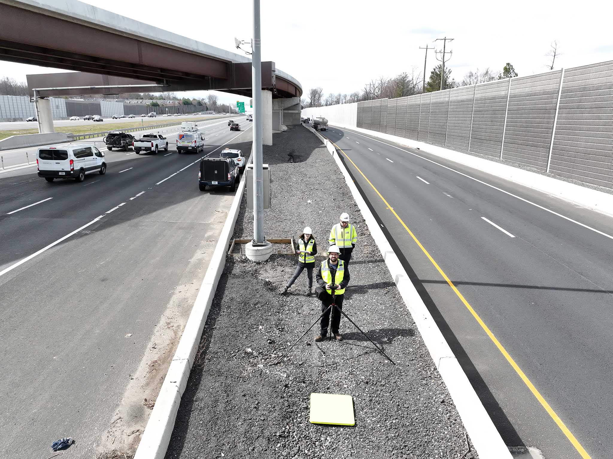
edwinphotography.com/blog/transform-66.html