Aerial Construction Site Intelligence
Accurate, repeatable aerial data that helps teams track progress, save time, reduce risk, and improve project visibility.
Advanced 3D Modeling for your Next Big Project
Visualize any property or space with high quality 3D Models to measure volume, calculate area and enhance the planning and progress of your projects! Get immersive and detailed models of construction sites, commercial properties, buildings and more. Using drone technology and advanced software, 3D Models combine data from multiple high quality images to provide valuable data for many different applications in the Architecture, Engineering and Construction industries.
Aerial orthomosaic maps provide powerful construction site data
An Orthomosiac Map is created from a combination of many high definition images taken at multiple levels, so that you can interact with detailed imagery to get usable data for calculating distances, surveying sites, measuring topography, cut/fill estimates and more.
Perfect solutions for Visual Inspections, Site & Project Planning, Progress Images, Maintenance & Quality Reports, Company Marketing Footage & More. Increase productivity and safety management on your job sites!
We customize our service to meet your project's needs and offer solutions for long-term project site coverage. Give us a call to discuss your next project.
Check out our recent work with the 'Transform 66 Outside the Beltway' Project!
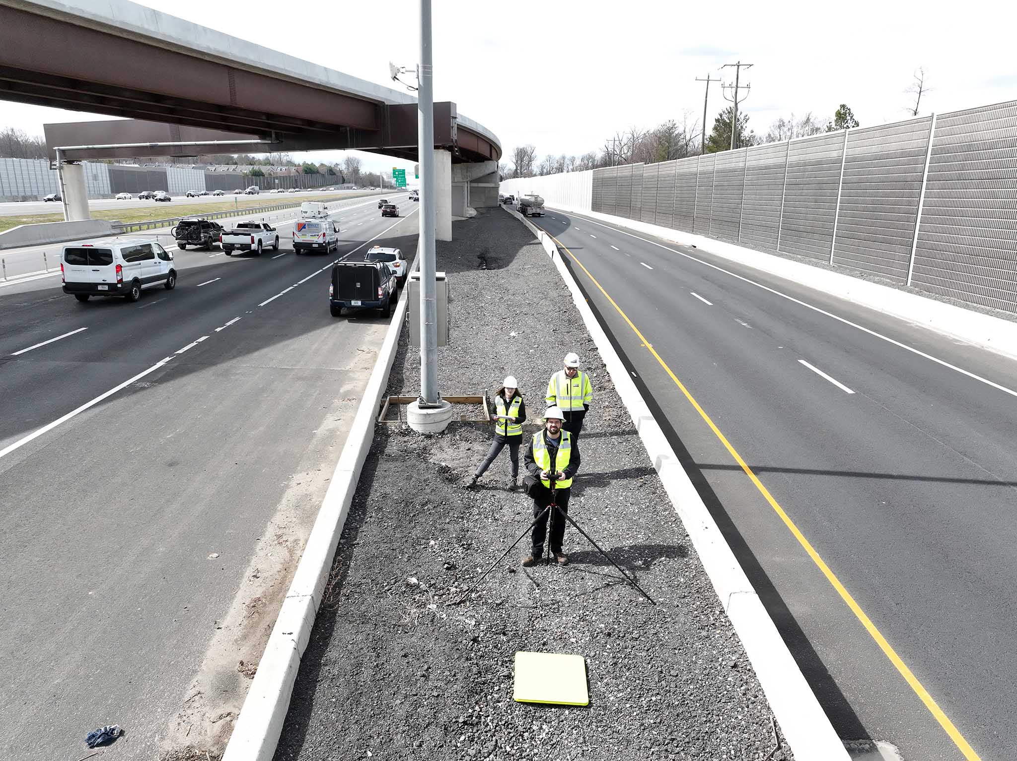
edwinphotography.com/blog/transform-66.html